While the exact definition of resilience varies from organization to organization, the overwhelming common focus is on how individuals, communities and business not only cope in the face of multiple shocks and stresses, but also improve and positively transform their conditions over time. (Dodman & Diep, 2015).
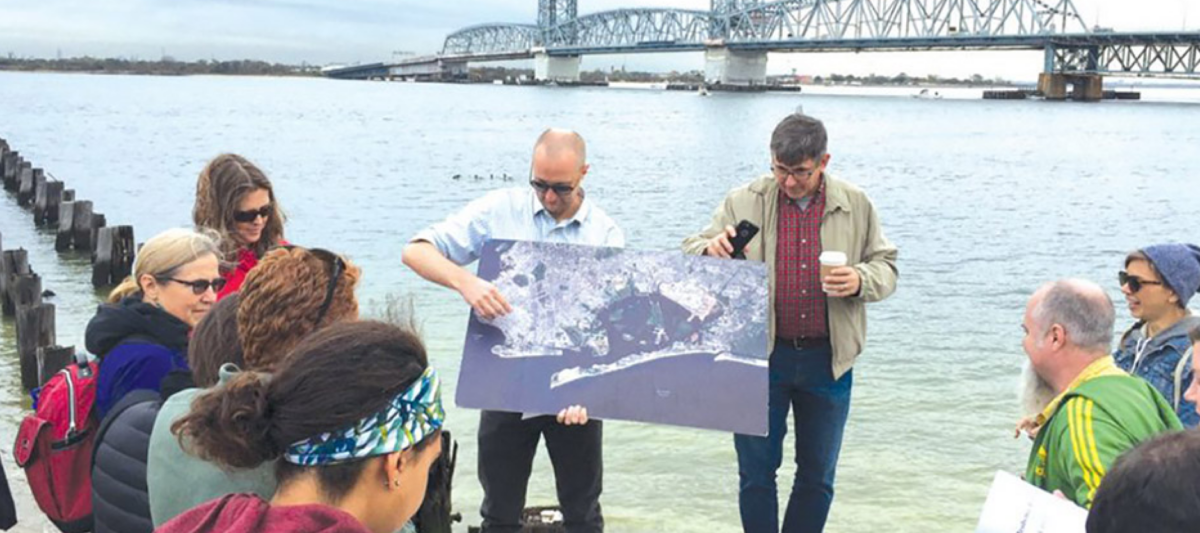
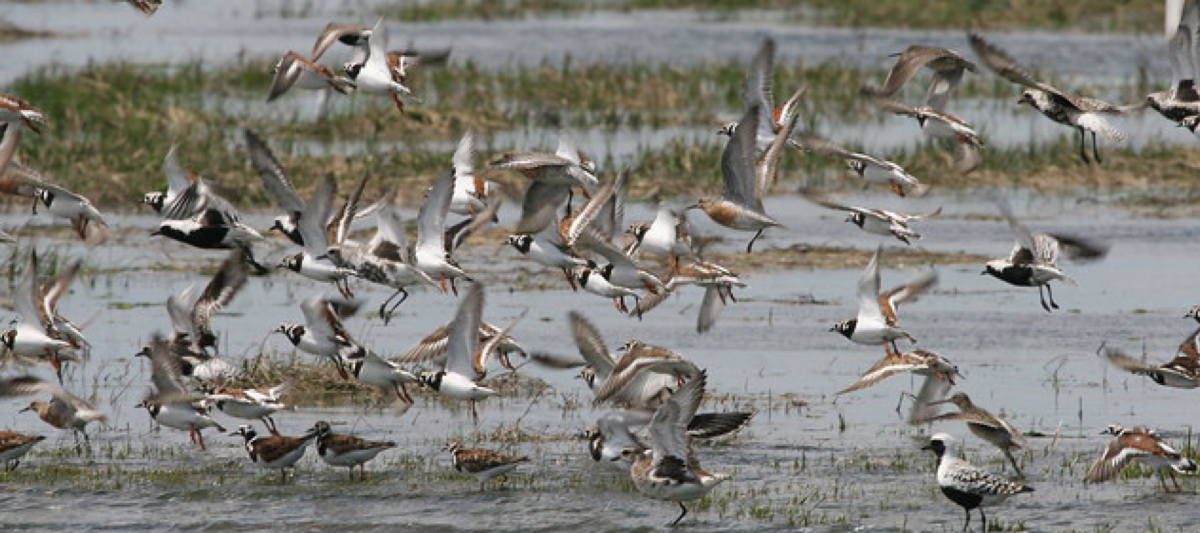
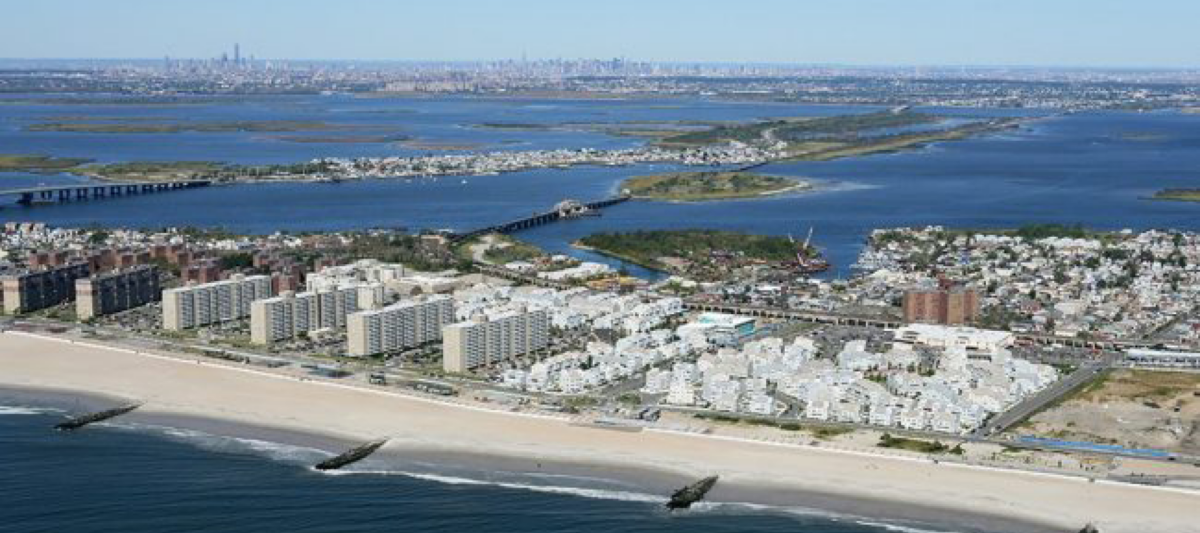
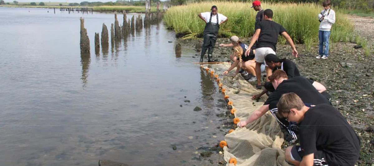
Located in the southern part of the NY metropolitan area, Jamaica Bay, which is divided between Brooklyn and Queens, is the focus of the work/story. Comprised of barrier islands and marshlands, fed by several creeks, the lagoon is a saline to brackish estuary extending over 25,000 acres. Shaped and re-shaped by man over time, this semi artificial estuary is home to rich wildlife including migratory species. But the City’s inadequate infrastructure and the JFK airport further challenge the balance between man-made and natural ecosystems.
Historically perceived as the edge of the city, urban transformation around Jamaica Bay began with a vision for a NYC Seaport during the turn of the 20th century. This project was later abandoned and replaced by Robert Moses’s plans to develop parks and parkways for the area. However, much of the dredging and filling in the Bay had already begun for this, and other transportation infrastructure, forever altering the shoreline.
Since then, the publicly owned land surrounding the Jamaica bay has been sold to private developers. Community Districts CD10 and CD14 in Queens (the areas around Jamaica Bay) as well as CD5 and CD18 in Brooklyn are home to diverse cultures and housing typologies. Although the communities have very little in common, the entire area is comprised of the same geomorphology; their unique landform is vulnerable to flooding even with tidal movements.
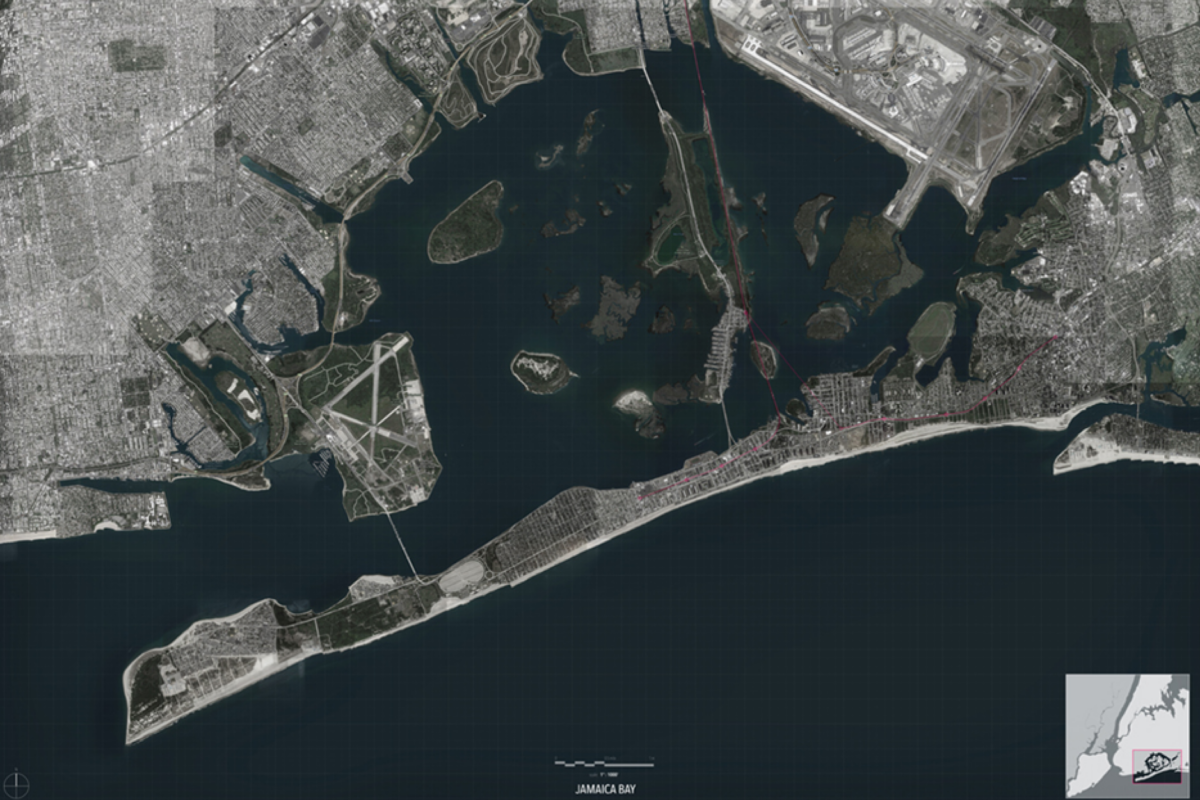
Several maps provided by the Environmental Justice Alliance in collaboration with Scientist Action and Advocacy Network (ScAAN) reveal the City’s vulnerability, social and physical, at a glance.
2014
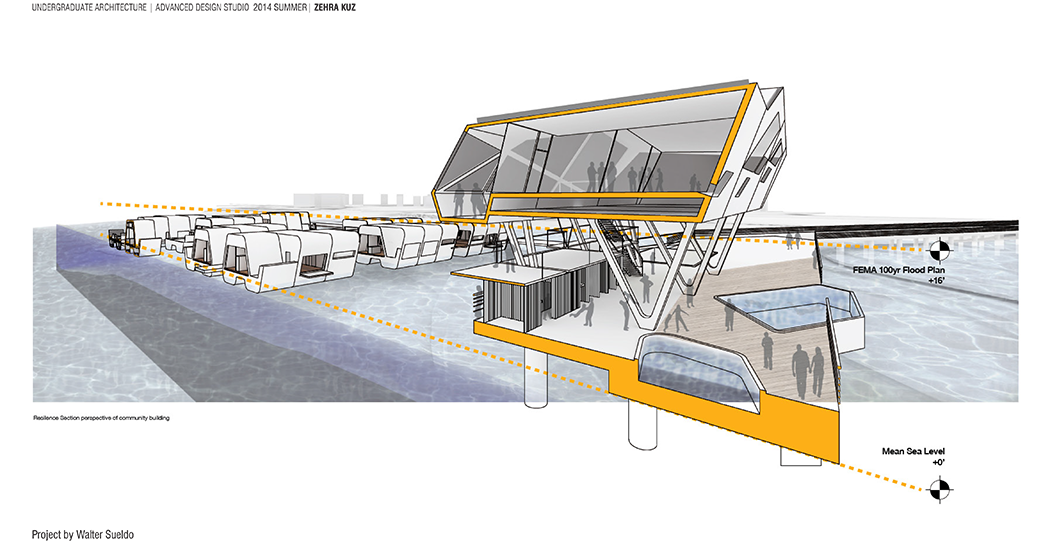
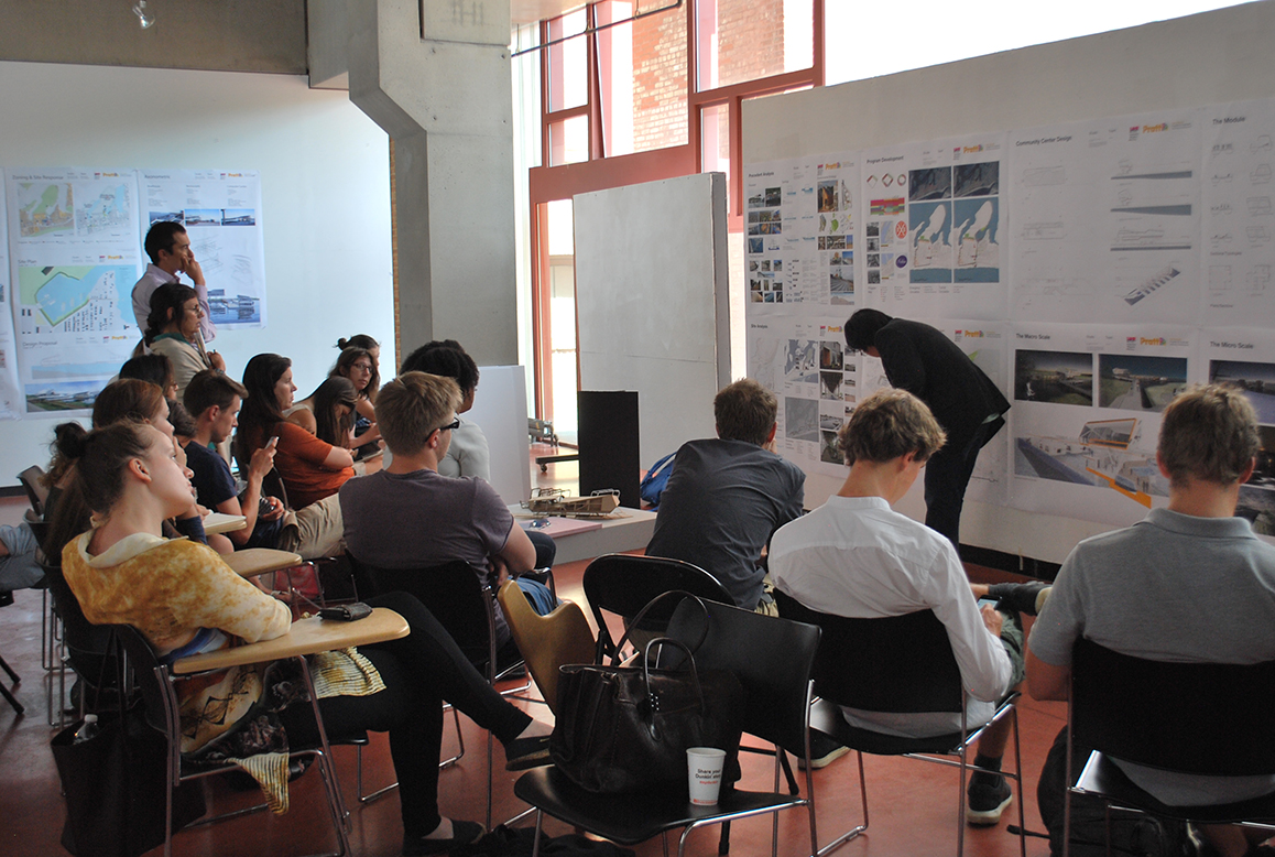
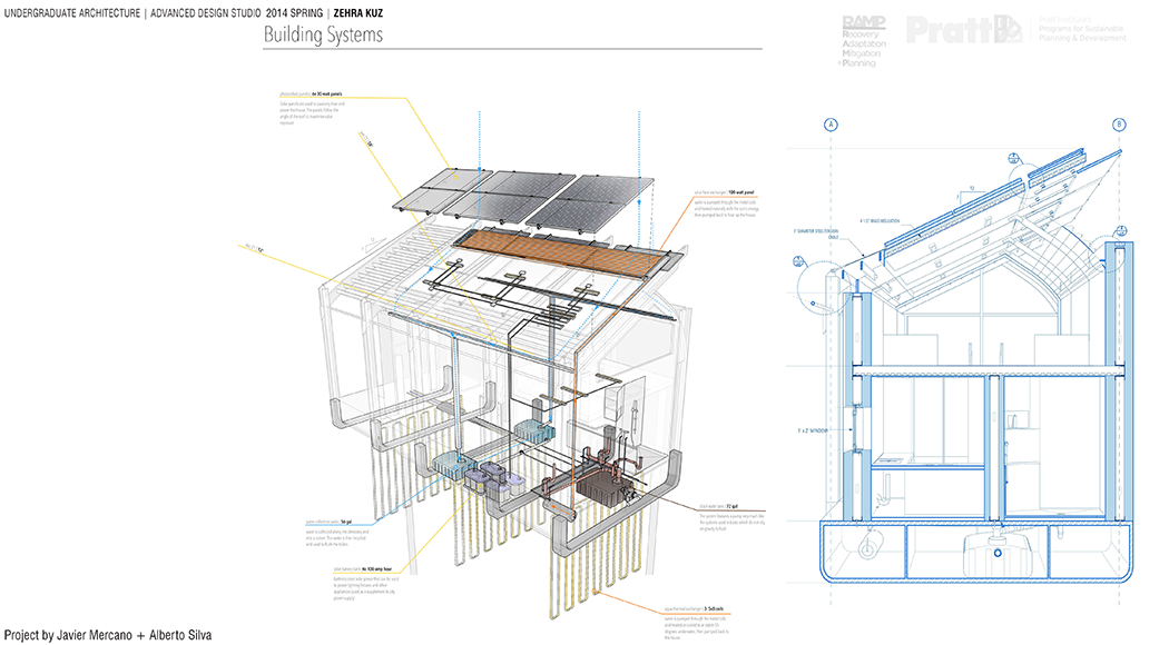
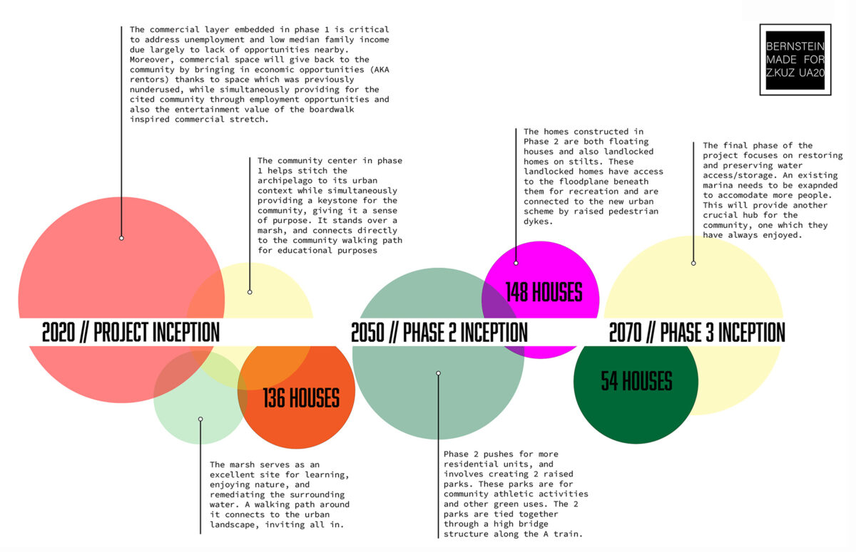
While the planning studio of GCPE (formerly PSPD) studied the conditions thoroughly and designed policy recommendations for the communities on the Rockaways peninsula, the Undergraduate architecture students were asked to address housing and to explore new forms of (off-the-grid) living on the water during times of normalcy and disaster (HOW2). The lack of connectivity through means of public transformation inspired a rigorous waterway network connecting all the protected basins of the Jamaica Bay. The Common Ground, a multipurpose building imbued with economic development potential, became the gateway to the amphibious development; it has the ability to transform into a disaster relief center for the community when necessary.
2015
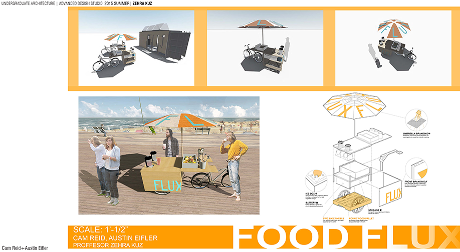
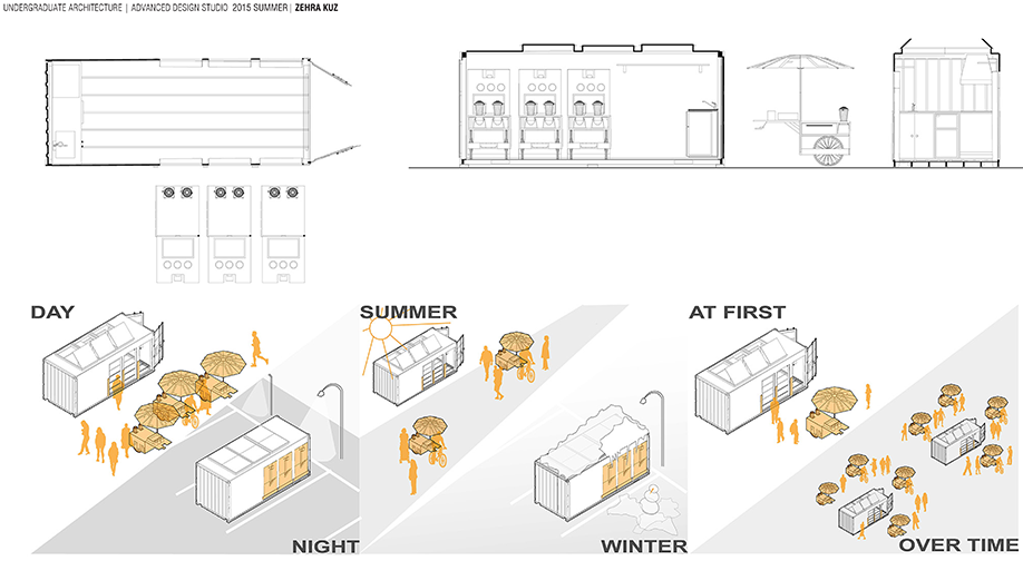
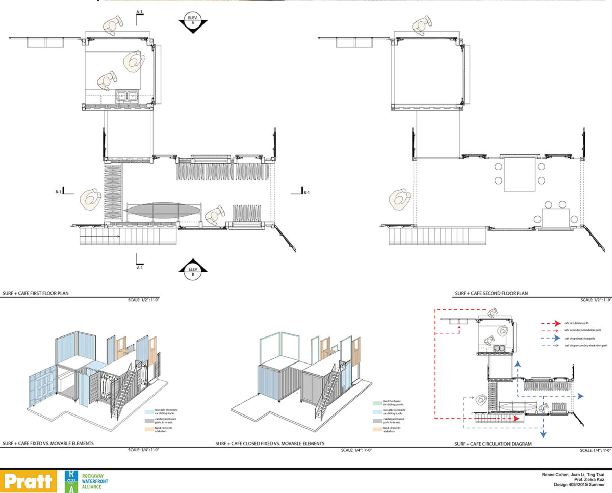
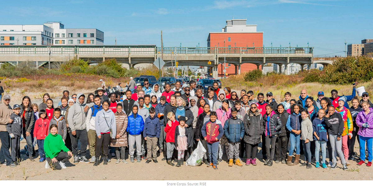
Working semester after semester with RISE Rockaway, we have not only become familiar with challenges but also the opportunities of the Edgemere community and many of its innovative small businesses. Inspired by re-surf and truck-a-float and together with RISE team, our students envisioned how to contribute to the economic development of this community through pop up markets and street vendors.
2016
2017
2018
2019
Can built-environment be seen as a platform for empowerment contributing to human capital system?Who are the stakeholders and how can their goals turn into design implications?
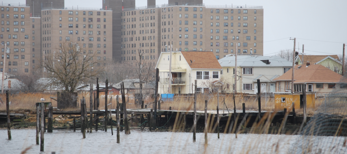
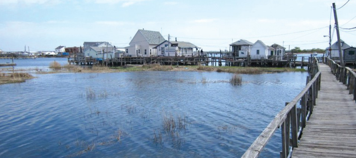
Since hurricane Sandy, which had a devastating impact in the Rockaway there are two prevailing trends:On one hand, the city is reluctant to invest in infrastructure to protect life in the Jamaica Bay region. On the other, the city-owned, large vacant lots are attracting developers whose short-term calculations do not address/consider risk. The Edgemere community and the adjacent neighborhoods are at the brink of an urban transformation and the gravity of the situation has the community’s (and our) attention.
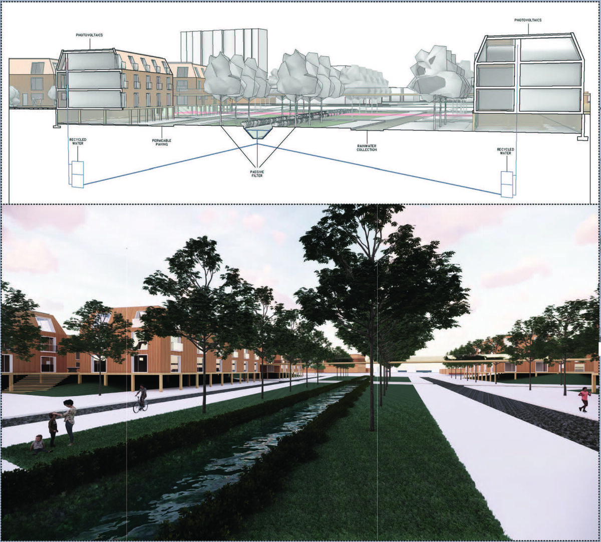
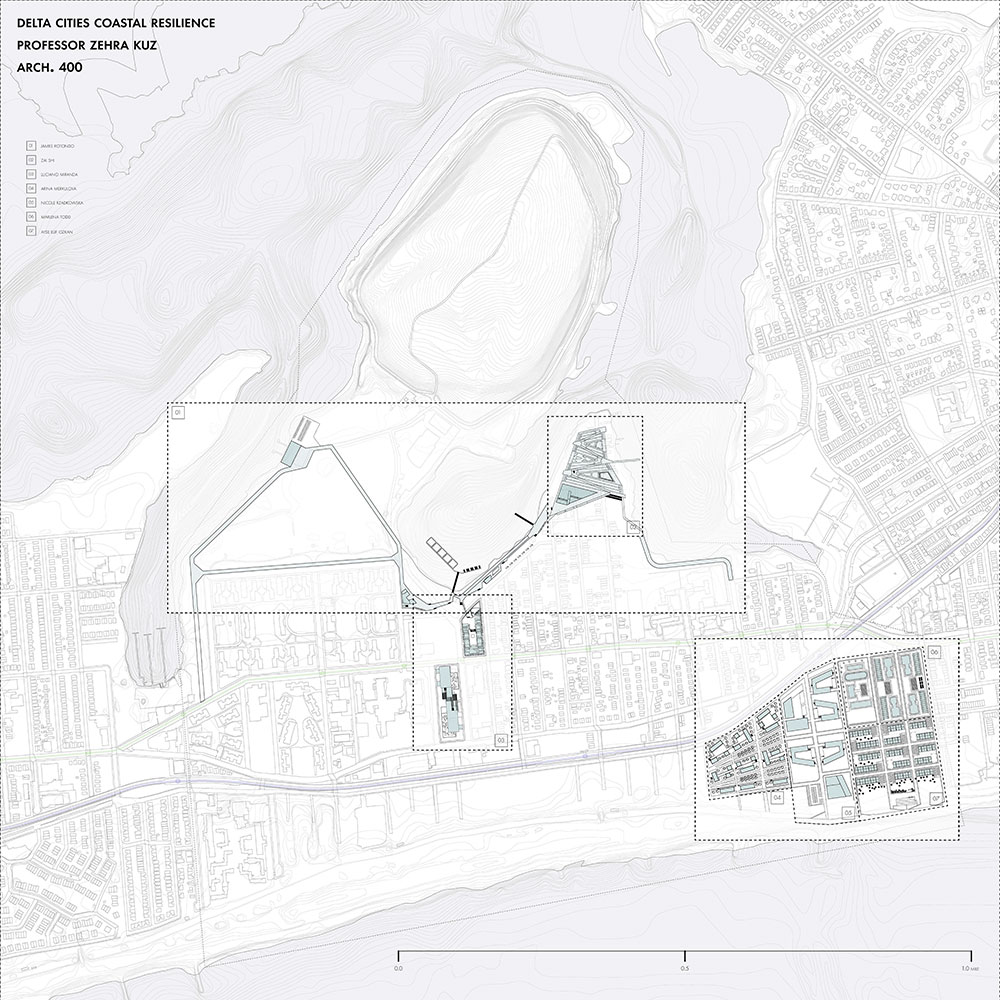
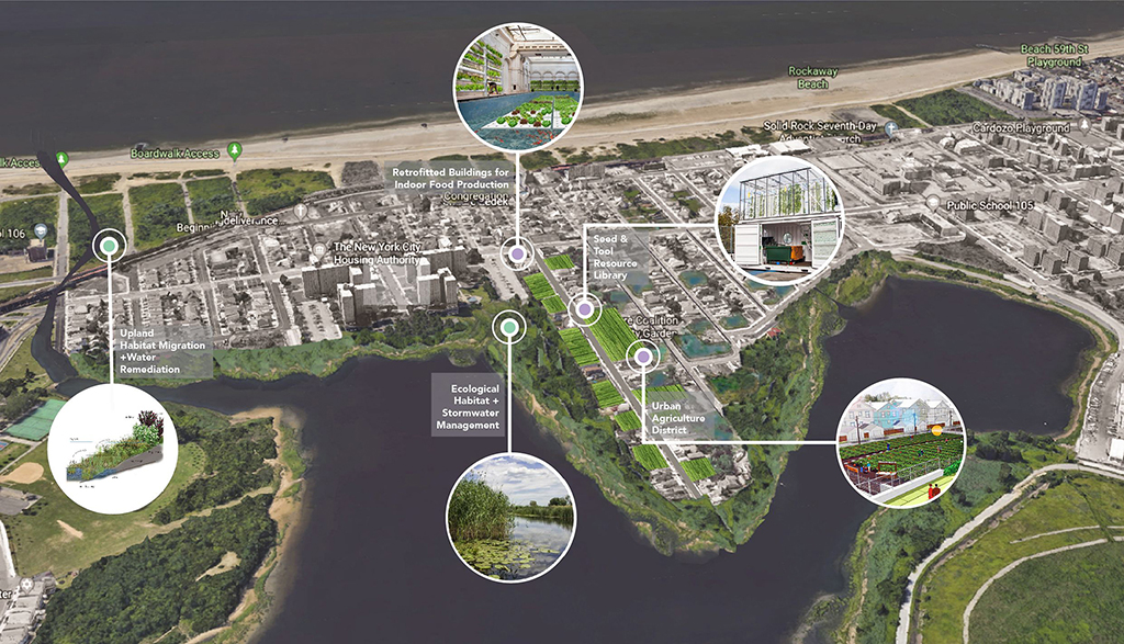
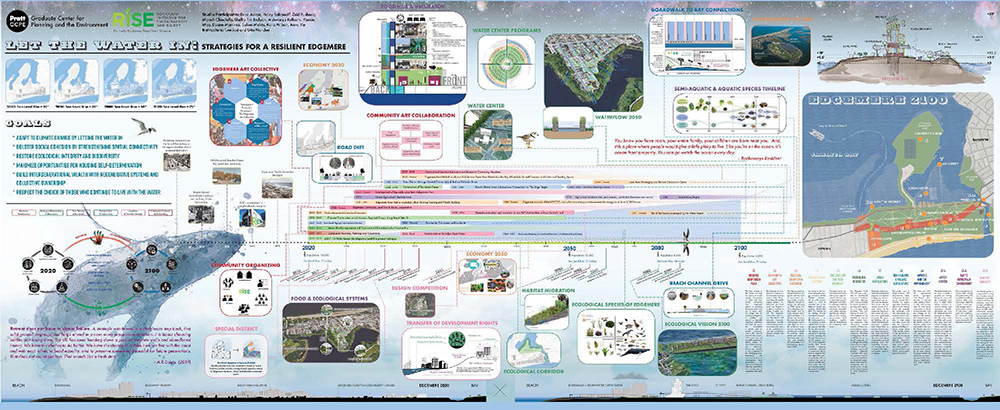
The Delta Cities Coastal Resilience team was tasked to develop design strategies in response to environmental stresses, envision flood and stormwater protection measures and create socio-economic opportunities while making space where innovative programs can unfold. Areas of interest identified by RISE were the edge between land and water and the vacant lots throughout.
2020
New York City with its 8,5 million population and 520 miles coastline is connected to a tributary area of 22 million people.The risk of a climate crisis is grave for every single resident but is drastically more so to those living invulnerable, low-lying, coastal neighborhoods; they are at the forefront of what is to come in the foreseeable future.
Many of these communities are enduring extreme economic disparities, historic environmental burdens and resource deprivation and some will face displacement as a result of the changing climate impact. A radical re-evaluation of all our systems in every scope and scale is needed to explore and implement transformative nature of resilience.
This semester, both the graduate and undergraduate students will focus on Jamaica Bay and the surrounding communities; they will work with a consortium of local organizations as well as an expert team of advisors exploring strategies to address ecological, environmental and social aspects in addition to economic stability and patterns of human habitation and migration. While the graduate studio will focus on the JB as a region, the undergraduate studio will work toward implementable change for a locale.
2021
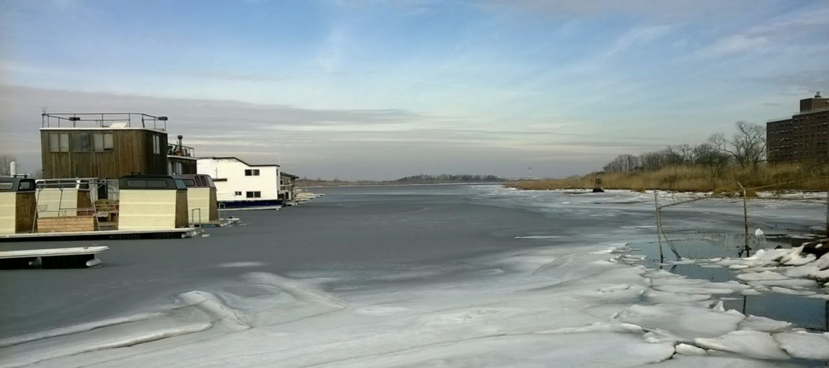
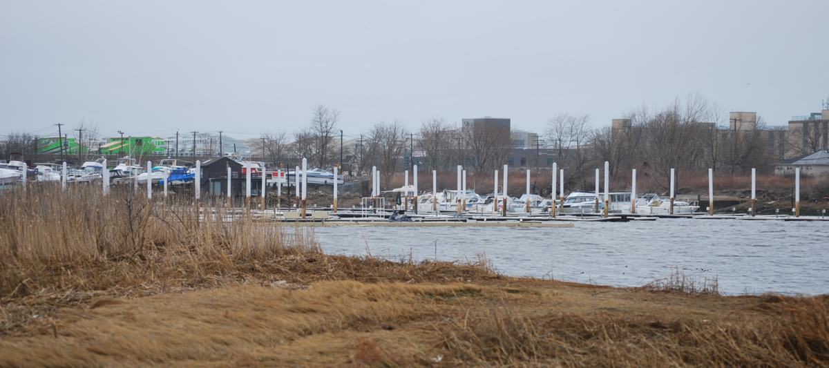
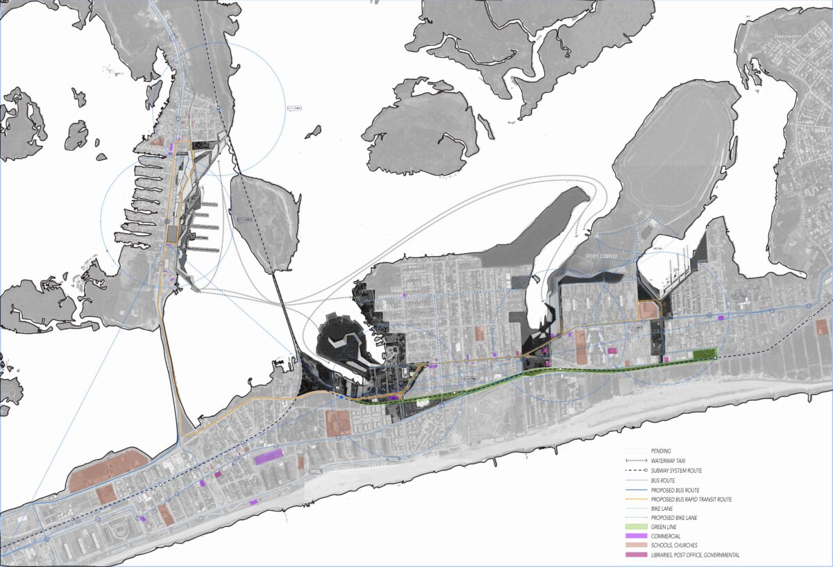
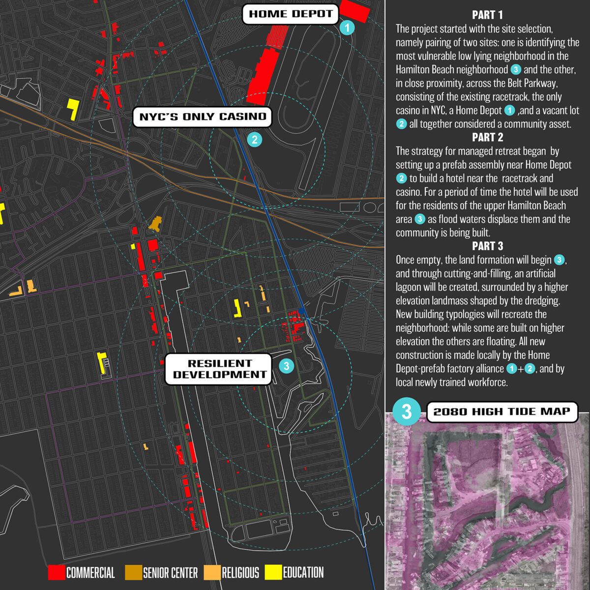
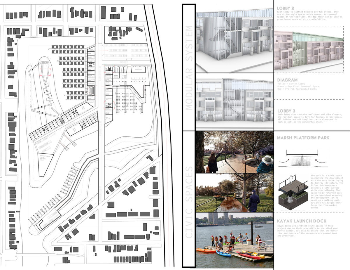
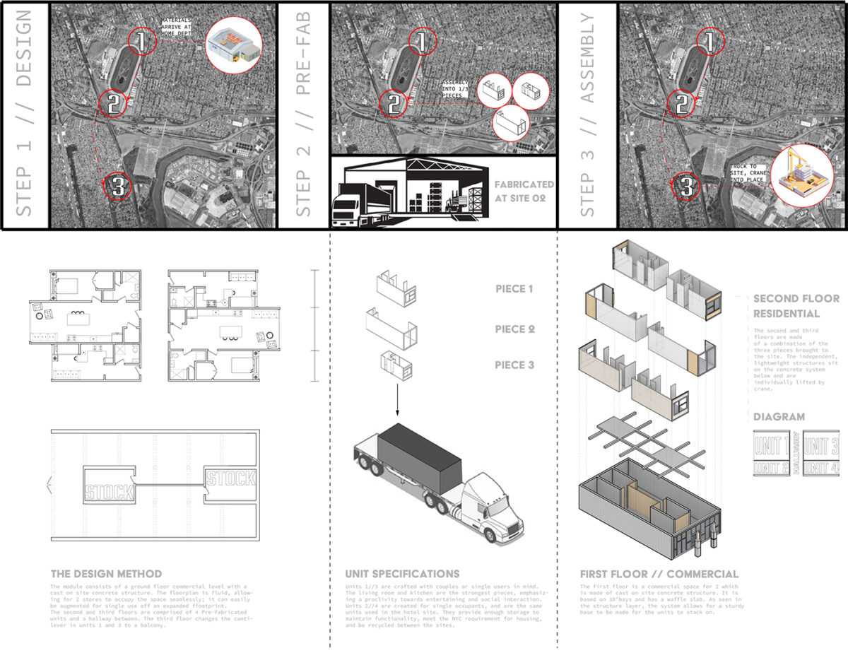
The graduate studio aimed to raise awareness of the possibility or the inevitability of managed retreat.Attached to the transportation web only by a very thin line, daily commute for the residents is challenging:the A train services the Rockaways but only special trains go to the Far Rockaway. Rapid bus lines are proposed and pending. Cross Bay Boulevard is costly for daily commuters since it is a toll bridge and theMarine Parkway Bridge was shut down during the days after Sandy. In this setting, we proposed amphibious housing in the hope that it would weather the future storms. Existing marinas as well as the new ones will be used as a gateway to the surrounding urban fabric.
The transformative nature of resilience is what sets it apart from other related concepts such as “adaptation.” Resilience goes beyond reducing risks and aims to enhance “a system’s performance in the face of multiple hazards rather than preventing or reducing the loss of assets caused by specific events” (Dodman & Diep, 2015).