Creating an “open street” is simple in theory: restrict cars from driving through a specific area so that pedestrians can leisurely gather. But in a place as dense and complex as New York City, civic transitions of this kind can take months and even years of careful research, community engagement, planning, and feasibility testing.
Urban Placemaking and Management students in the Graduate Center for Planning and the Environment (GCPE) received hands-on experience in the growing field of Open Streets development this spring in the “Placemaking Lab: Analysis of Public Space” studio taught by Emily Ahn Levy and Vaidehi Mody, both visiting assistant professors in the Graduate Center for Planning and the Environment. The class focused on the Brooklyn neighborhoods of Greenpoint and Williamsburg, where the North Brooklyn Open Streets (NBKOS) helps to manage several public spaces, including the Berry Street Open Street. The NBKOS acted as the client for the students, who investigated and proposed numerous recommendations for improving multiple sites, as well as the group’s management structure.
“The UPM Lab provides an invaluable opportunity for students to partner with a community client and study functioning public space sites, which is significant for the students’ applied learning outcomes,” Levy said. “And in turn, this reciprocal relationship enables the community client to benefit from the focused and rigorous research, community engagement learnings, and recommendations that can leverage their continued work and advocacy.”
New York City began its Open Streets program in 2020 to provide people with safe outdoor space during the COVID-19 pandemic. The program reached a peak of 83 miles of street in 2021 and sees the highest level of activity in the summer months when new streets are temporarily added to the roster.
The entire length of Berry Street between Broadway to N 12th Street, spanning 19 blocks, was converted into an Open Street in 2020, with barriers preventing cars from entering, and has since become popular with residents in the neighborhoods of Greenpoint, Williamsburg, Los Sures, and South Williamsburg. In 2023, the project was updated to include a two-way cycling route. Near the North end of Berry Street are two other public spaces, the Bedford Slip and Banker’s Anchor Plaza, that together form a sort of archipelago of pedestrian safety and civic life.
The Urban Placemaking students worked on a proposal to connect these sites and improve their overall management, design, safety, accessibility, and programming.
The initial part of the studio involved studying the contextual history of the neighborhoods to better understand their demographic, cultural and commercial makeup, land use, and major historical and political events. The class also studied the history of Open Streets and received a guest visit from representatives of the NYC Department of Transportation to discuss the inner workings of the Open Streets program, which they oversee. Other guest lecturers throughout the semester were from NYC’s Public Design Commission, Street Lab, and Grain Collective, all involved in strengthening the city’s public realm.
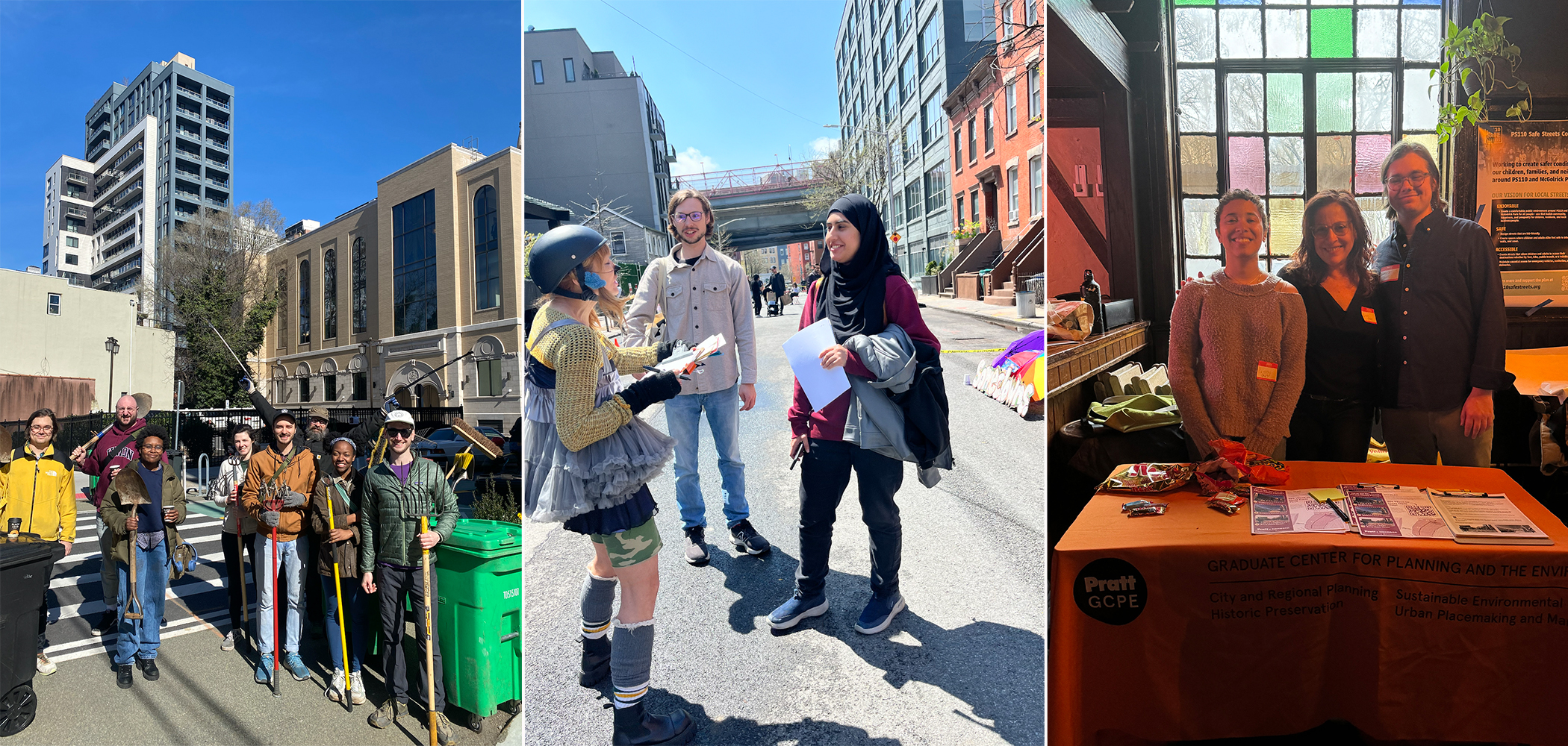
Students conducted several walkthroughs of the sites to gather observations and get a feel for the lived experience of different communities. They observed how people moved throughout Berry Street, the varied architecture within and between blocks, the ways communities made the space their own, and the differing access to public transportation and social services. They took note of safety, public space uses, environmental justice activism, the equity gap across the site, and public art as background for their initial findings.

“We talked a lot about art and placemaking in the sense of, how do you go beyond just place-keeping and preserving something that’s already there?” said Penny Lewis, MS Urban Placemaking and Management ’25. “We were also thinking a lot about tactical urbanism, doing these quick things like painting something in the crosswalk so it’s colorful and bright and makes it very clear that this is a crosswalk.”
“I was looking into green infrastructure like the cloudburst program, which funds things like making sure the catch basins are clean so there’s no flooding, adding rainwater gardens to help with flooding, and being proactive about educating people, especially in the aftermath of [Hurricane] Sandy,” she said.
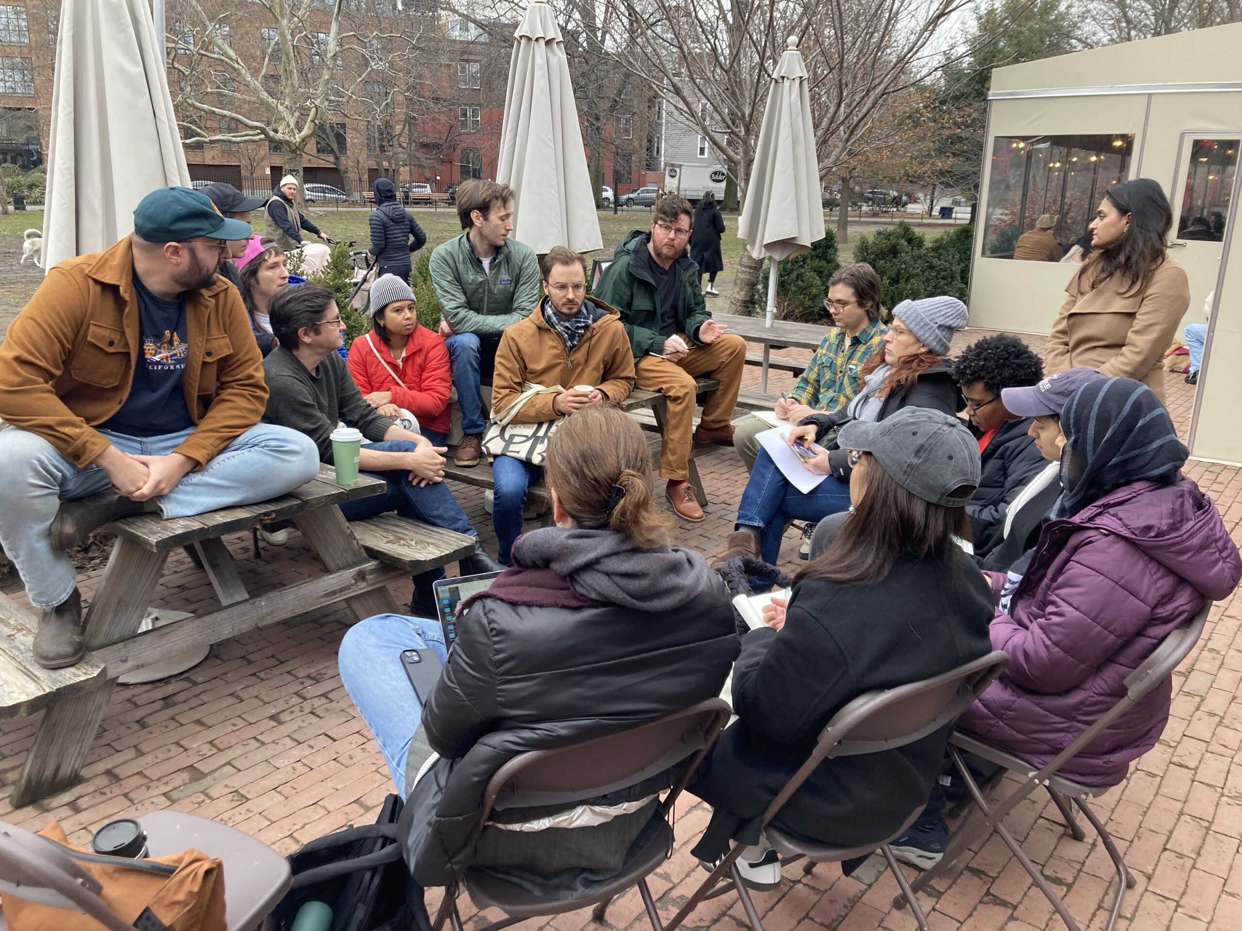
The NBKOS is organized by volunteers and connected to a range of community partners. The volunteers help to manage Berry Open Street, the Bedford Slip, and Banker’s Anchor Plaza through advocacy and programming. Students regularly spoke with the NBKOS’s lead volunteers and partner organizations to learn how the group carries out its work and coordinates with community partners and neighbors. They also discussed the political, community, environmental, infrastructural, and financial issues facing the three sites.

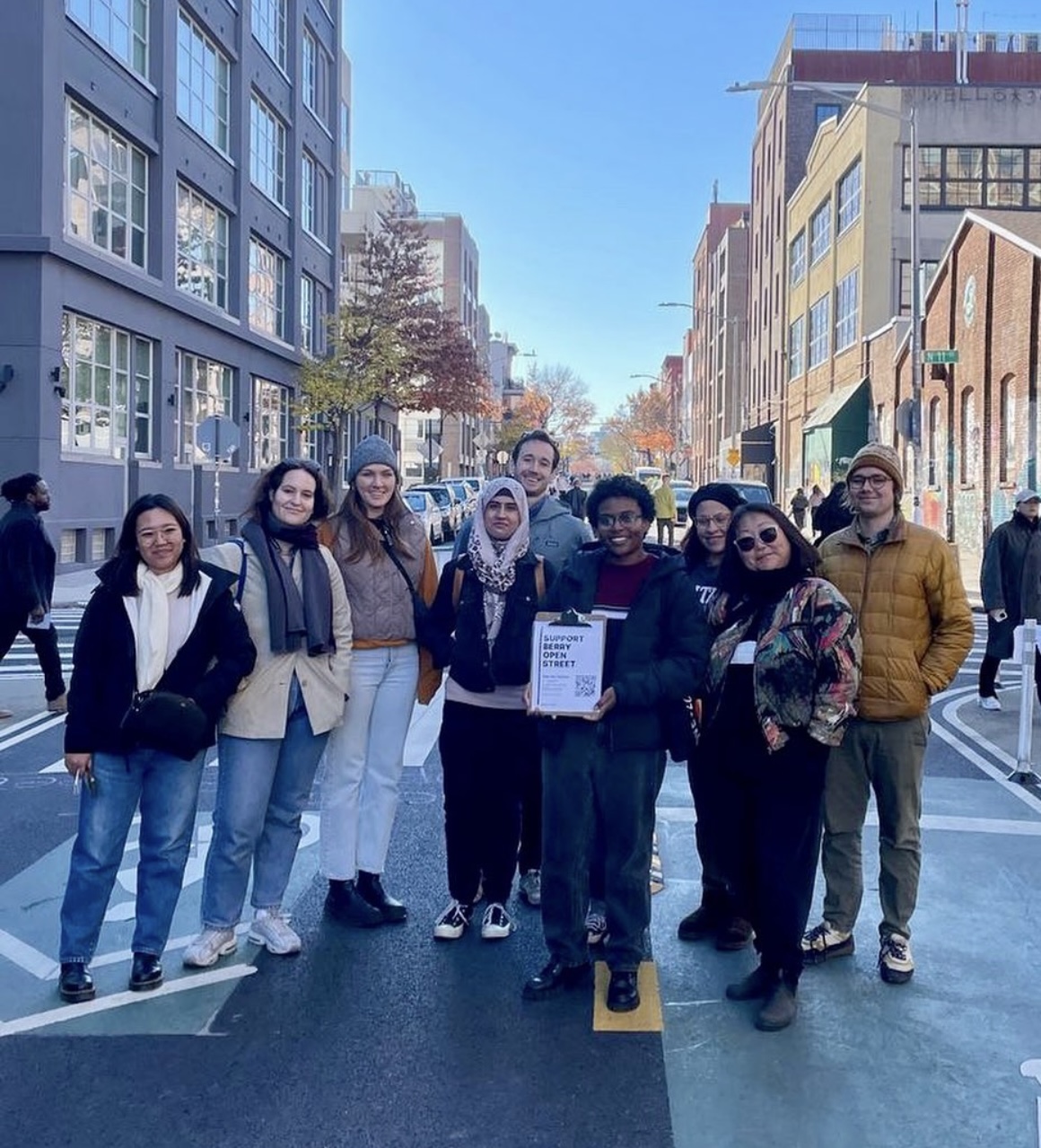
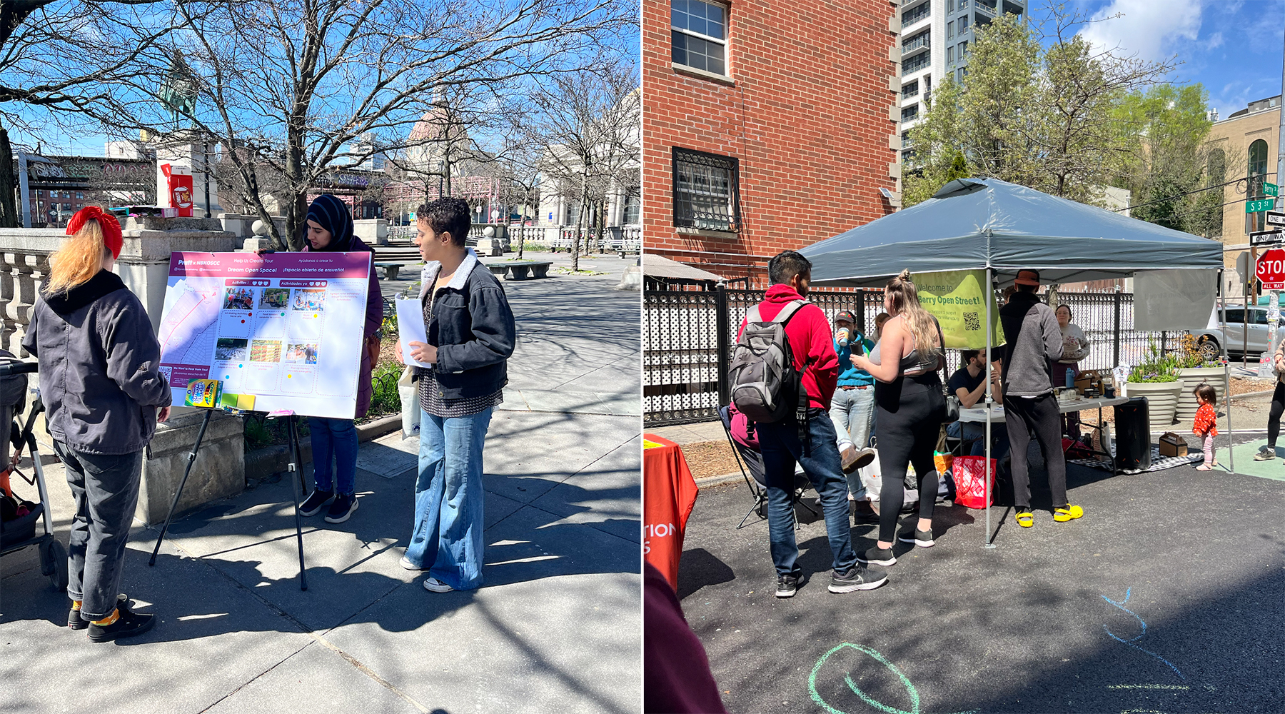
The class embarked on a thorough community engagement process, where they designed a QR-enabled survey in English and Spanish and posted it throughout the area of study to understand community perceptions around public space and the three sites. They also attended several community-led events and conducted informal interviews with community members, learning that people wanted improved seating, better bike lanes and parking, additional safety measures, noise control, and more public programming, among other things.
“I can draw something cool that I think people might like but I don’t really know,” said Cyrus Henry, MS Urban Placemaking and Management ’25. “The community engagement process, with all the interviews and surveys, gave us more to consider and respond to and really validated the recommendations that we were making. It was no longer just our concept of what we thought the sites should be—our recommendations were now informed by what the people who are really going to be using and caring for the space want and need.”
“It’s a really important way to think about our built environment,” he said. “Who are all the stakeholders? Who is this serving? What is the importance of public space?”

Over time, the students collected their findings and presented them to the NBKOS. With the feedback they received, along with additional community outreach, they developed a series of recommendations for the three sites that are organized as short-, medium-, and long-term.
The short-term recommendations include redesigning the NBKOS website with a distinguished brand image and robust user experience to ensure community members and partners can better engage with the group. The students also suggest introducing modular seating, playground sets, greenery, and asphalt art to enliven the sites, as well as cohesive design elements for maps, informational banners, and barricades across Berry Street, Bedford Slip, and the Banker’s Anchor Plaza.
More medium-term recommendations include formalizing the NBKOS as a nonprofit, expanding community-driven programming at the sites, and installing rainwater gardens and permanent seating. The longer-term recommendations include preparing for the planned business improvement district in North Brooklyn, an initiative co-led by North Brooklyn Parks Alliance and District 33 Councilmember Lincoln Restler, to ensure cooperation between private and public interests, introducing an easily accessible and expanded programming schedule online, and transforming Berry Street into a pedestrian-only zone on a permanent basis.
The students presented this proposal to the NBKOS, which will be able to use the recommendations in the future.
“The UPM Lab exemplifies experiential learning at its best,” Mody said. “The students learned the intricacies of community engagement, the complexities of urban dynamics, and the responsibility inherent in shaping public spaces. They cultivated a deep understanding of the social, equitable, and environmental aspects that mold our cities. It’s an education that extends far beyond the classroom, and equips them with the tools and mindset necessary to become effective changemakers in this field.”
