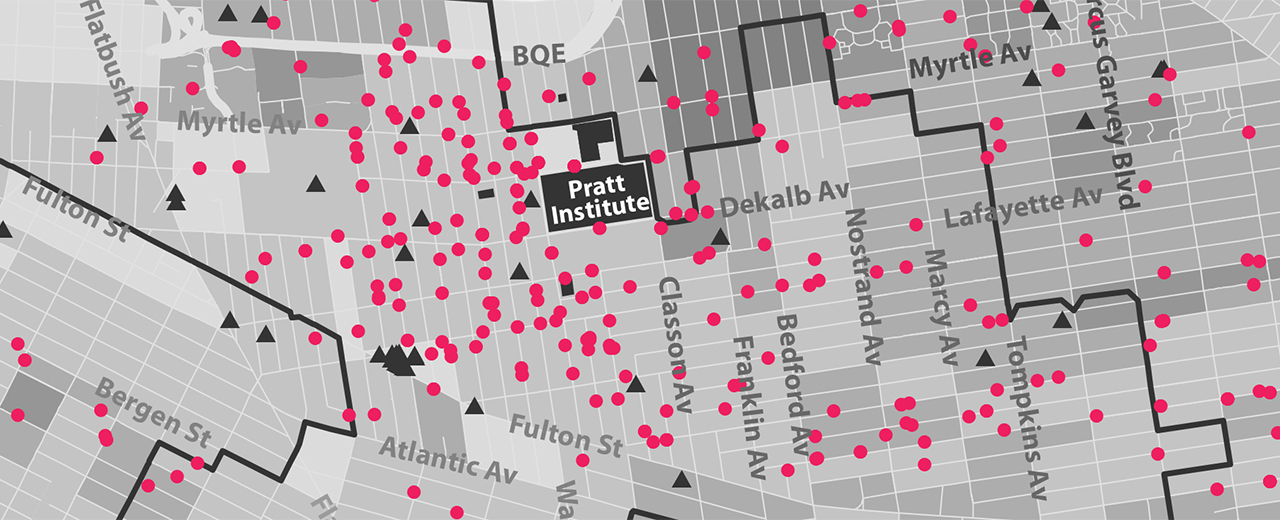
 Pratt has created a new Geographic Information Systems (GIS) and Design certificate program through its Center for Continuing and Professional Studies (CCPS) and Spatial Analysis and Visualization Initiative (SAVI). The program will offer students a firm grounding in the principles of spatial thinking and visual design that can be used by creative professionals, designers, developers, programmers, architects, and planners to interpret and communicate data.
The certificate program, taught by practicing professionals in mapping and digital media who are drawn from across New York City and from within Pratt’s Schools of Design and Architecture, will provide new course options for students interested not only in data analysis, but also in visual design.
“Though graphic designers are trained to craft complex amounts of information into compelling stories, very few of us have the expertise to create data-rich visualizations that are informative, interactive, and visually compelling,” said Andrew Shea, visiting assistant professor, Graduate Communications Design. “The new certificate program will add this valuable skill set to a designer’s toolbox, empowering them to reach larger audiences with even more meaningful messages,” he added.
Students in the program will learn to explore and analyze data, develop technical mapping skills, and apply visual design principles in the context of spatial analysis. Program graduates will emerge with an online portfolio demonstrating their ability to make visually sophisticated maps based on thorough, accurate analysis.
“The new certificate program will provide planners with the foundations for accurate data analysis and help GIS professionals and mappers produce well-designed materials that tell a compelling story, which will supplement what is taught in traditional degree programs” said John Shapiro, chair, Programs for Sustainable Planning and Development.
Image: Courtesy Spatial Analysis and Visualization Initiative